Description
KCOMBO-7 GPS Chart Plotter with Fish Finder
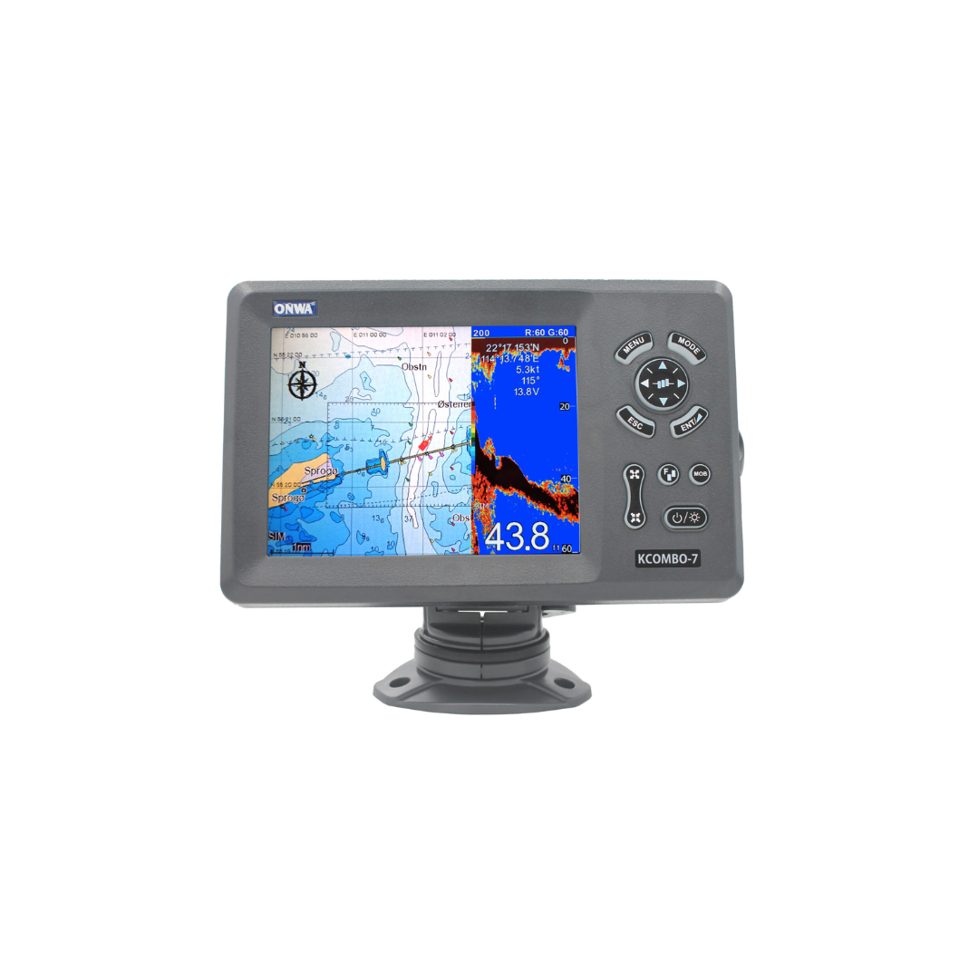
The KCOMBO-7 GPS Chart Plotter with Fish Finder combines advanced navigation and fish-finding technologies in one compact, reliable device. Designed for serious anglers and boaters, this chart plotter offers exceptional GPS functionality along with detailed sonar data to help you find fish more easily and navigate with precision.
Plotter Features
- Waypoints: Save up to 12,000 user waypoints with names and symbols, plus system waypoints like MOB (Man Overboard), Start, and Cursor.
- Routes: Create and store up to 30 routes with up to 170 waypoints each, including options for MOB and Track Navigation.
- Tracks: Record up to 8,000 points of track logs and save 10 tracks with up to 8,000 points each.
- Alarms: Set alarms for XTE, Anchor drag, arrival, speed, voltage, proximity waypoints, timer, and AIS alerts.
- Drawing Features: Add up to 1,000 Drawing Marks and 2,000 Drawing Lines with multiple colors for improved map customization.
Advanced GPS Receiver
- 50-Channel GNSS Receiver: Continuously tracks up to 50 satellites for accurate position updates.
- Acquisition Time: Cold start in 29 seconds, hot start in 1 second.
- Accuracy: 3 meters (95%) without S/A, with velocity accuracy of 0.1 meter/sec.
- Satellite Systems: Supports GPS, Beidou, GLONASS, and Galileo for reliable global coverage.
Echo Sounder Features
- Echo Color: Choose from 16 colors based on echo intensity.
- Range and Zoom: Adjust the depth range from 5m to 1000m and zoom up to 6x for detailed sonar readings.
- Display Modes: Features include High Frequency, Low Frequency, Dual, and Zoom display modes for clear, precise sonar data.
- Alarm Functions: Activate fish, bottom, and temperature alarms for greater awareness.
AIS Interface
The KCOMBO-7 GPS Chart Plotter with Fish Finder includes an AIS interface, supporting RS232 output for various AIS data formats like VDO, VDM, GGA, and GSV.
Power and Physical Characteristics
- Power Supply: Operates on 10.5 to 30VDC with a current drain of 1.5A at 12V.
- Size & Weight: The display measures 155.2mm (H) x 243mm (W) x 84.6mm (D) and weighs just 0.6 kg for easy installation and portability.
- Waterproofing: Both the display unit and antenna unit are rated IP66, ensuring durability in tough marine environments.
- Temperature Range: The display unit operates in temperatures from -15°C to +55°C, and the antenna unit functions in -25°C to +70°C.
Display and User Interface
- Display: 7-inch Color TFT LCD, providing clear, day-viewable graphics with a resolution of 800×600 pixels.
- Compatibility: Works seamlessly with K-Chart 2.0, K-Chart 3.0, C-Map Max, and Navionics+ charts for enhanced navigation and mapping options.


